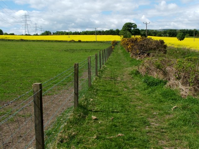
Footpath to Chacefield Wood
Introduction
The photograph on this page of Footpath to Chacefield Wood by Lairich Rig as part of the Geograph project.
The Geograph project started in 2005 with the aim of publishing, organising and preserving representative images for every square kilometre of Great Britain, Ireland and the Isle of Man.
There are currently over 7.5m images from over 14,400 individuals and you can help contribute to the project by visiting https://www.geograph.org.uk

Image: © Lairich Rig Taken: 24 May 2010
From a three-way Image, one branch leads uphill, heading south towards Chacefield Wood; for the view back along that part of the route, see Image, which was taken at the point where that ascending footpath turns sharply to the west. The present photograph was taken from the same sharp turning, and shows the footpath leading westwards for a distance of 140 metres, after which it turns left to resume its southward course; see Image for a view along that section of the route.

