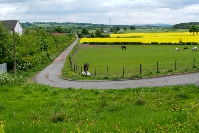
Track to Mydub Farm
Introduction
The photograph on this page of Track to Mydub Farm by Lairich Rig as part of the Geograph project.
The Geograph project started in 2005 with the aim of publishing, organising and preserving representative images for every square kilometre of Great Britain, Ireland and the Isle of Man.
There are currently over 7.5m images from over 14,400 individuals and you can help contribute to the project by visiting https://www.geograph.org.uk

Image: © Lairich Rig Taken: 24 May 2010
The photograph was taken from beside the main road (Glasgow Road). The route is signposted as follows: "Private Road to Mydub Farm / No motor vehicles unless authorised / Others users welcome, please keep to the path and keep your dog under close control", accompanied by the symbols for cyclists, pedestrians, and horse riders. After passing Mydub Farm, the track leads to a three-way junction, where one branch leads to Cuthelton Farm and another to Chacefield Wood: Image The houses on the left are in Demoreham Avenue.

