Hilton Grange
Introduction
The photograph on this page of Hilton Grange by Kate Jewell as part of the Geograph project.
The Geograph project started in 2005 with the aim of publishing, organising and preserving representative images for every square kilometre of Great Britain, Ireland and the Isle of Man.

There are currently over 7.5m images from over 14,400 individuals and you can help contribute to the project by visiting https://www.geograph.org.uk
Hilton Grange
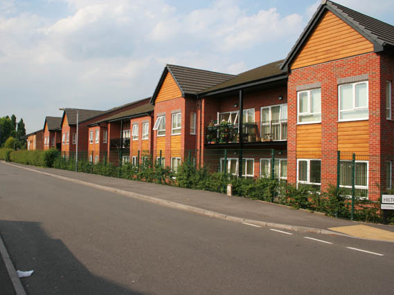
Image: © Kate Jewell Taken: 4 Jun 2010
On Hilton Crescent: These 62 care assisted apartments were built in 2007.
Images are licensed for reuse under creativecommons.org/licenses/by-sa/2.0
Image Location
Latitude
52.921057
Longitude
-1.110825