Lane to Brompton Ralph
Introduction
The photograph on this page of Lane to Brompton Ralph by Derek Harper as part of the Geograph project.
The Geograph project started in 2005 with the aim of publishing, organising and preserving representative images for every square kilometre of Great Britain, Ireland and the Isle of Man.

There are currently over 7.5m images from over 14,400 individuals and you can help contribute to the project by visiting https://www.geograph.org.uk
Lane to Brompton Ralph
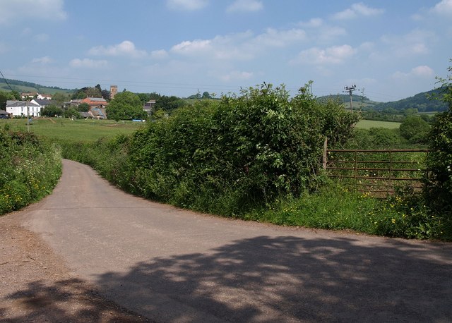
Image: © Derek Harper Taken: 3 Jun 2010
The village, with the church shown in Image, is across a gridline. Seen from the junction with byway WL 2/26 and footpath WL 2/15. The West Deane Way, arriving along the footpath, proceeds along the lane.
Images are licensed for reuse under creativecommons.org/licenses/by-sa/2.0
Image Location


Leaflet Map data © OpenStreetMap
Latitude
51.078665
Longitude
-3.306271