Northaw
Introduction
The photograph on this page of Northaw by Martin Addison as part of the Geograph project.
The Geograph project started in 2005 with the aim of publishing, organising and preserving representative images for every square kilometre of Great Britain, Ireland and the Isle of Man.

There are currently over 7.5m images from over 14,400 individuals and you can help contribute to the project by visiting https://www.geograph.org.uk
Northaw
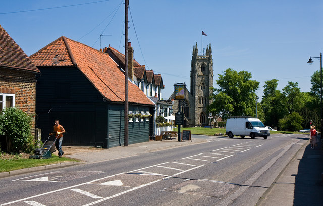
Image: © Martin Addison Taken: 2 Jun 2010
A view looking towards the village green along the B156, Northaw Road West. On the left is The Sun public house. Beyond is the triangular green with the village sign, war memorial and village pump (the last two are obscured by the transit van which is pulling out of Vineyards Road). Behind the green is the church of St. Thomas a Becket.
Images are licensed for reuse under creativecommons.org/licenses/by-sa/2.0
Image Location
Latitude
51.704989
Longitude
-0.1522