The road to Fletching at Fletching Mill
Introduction
The photograph on this page of The road to Fletching at Fletching Mill by Nick Smith as part of the Geograph project.
The Geograph project started in 2005 with the aim of publishing, organising and preserving representative images for every square kilometre of Great Britain, Ireland and the Isle of Man.

There are currently over 7.5m images from over 14,400 individuals and you can help contribute to the project by visiting https://www.geograph.org.uk
The road to Fletching at Fletching Mill
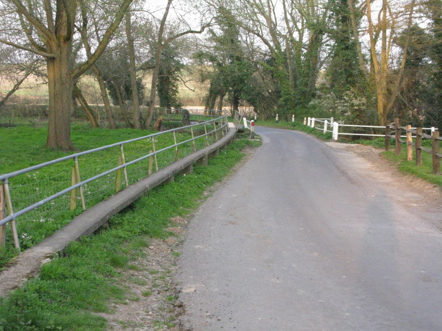
Image: © Nick Smith Taken: 18 Apr 2010
There is a raised concrete walkway along the edge of the road, presumably the road is prone to flooding by the River Ouse which runs underneath it where the white fencing can be seen.
Images are licensed for reuse under creativecommons.org/licenses/by-sa/2.0
Image Location
Latitude
50.988073
Longitude
0.027645