Road to Gwenddwr
Introduction
The photograph on this page of Road to Gwenddwr by Bill Nicholls as part of the Geograph project.
The Geograph project started in 2005 with the aim of publishing, organising and preserving representative images for every square kilometre of Great Britain, Ireland and the Isle of Man.

There are currently over 7.5m images from over 14,400 individuals and you can help contribute to the project by visiting https://www.geograph.org.uk
Road to Gwenddwr
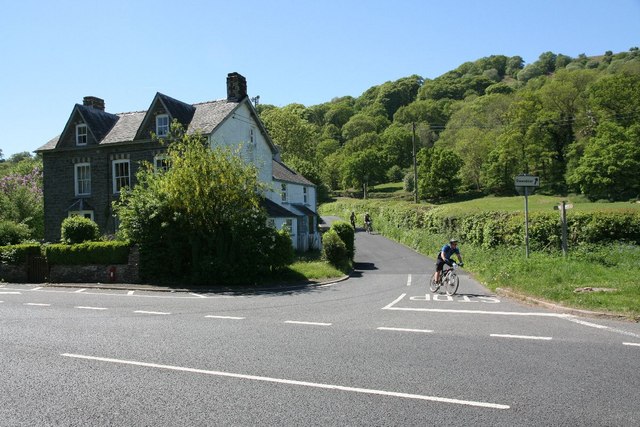
Image: © Bill Nicholls Taken: 23 May 2010
Mountain biker coming down the road from Gwenddwr before crossing the Erwood bridge.
Images are licensed for reuse under creativecommons.org/licenses/by-sa/2.0
Image Location
Latitude
52.083411
Longitude
-3.330887