Spittalfield, Perthshire
Introduction
The photograph on this page of Spittalfield, Perthshire by James Denham as part of the Geograph project.
The Geograph project started in 2005 with the aim of publishing, organising and preserving representative images for every square kilometre of Great Britain, Ireland and the Isle of Man.

There are currently over 7.5m images from over 14,400 individuals and you can help contribute to the project by visiting https://www.geograph.org.uk
Spittalfield, Perthshire
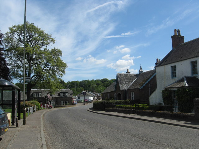
Image: © James Denham Taken: 3 Jun 2010
The A984 takes the route of an old military road through the 19th. century planned weavers' village.
Images are licensed for reuse under creativecommons.org/licenses/by-sa/2.0
Image Location
Latitude
56.551313
Longitude
-3.452408