Cullompton: by Trumps Barn
Introduction
The photograph on this page of Cullompton: by Trumps Barn by Martin Bodman as part of the Geograph project.
The Geograph project started in 2005 with the aim of publishing, organising and preserving representative images for every square kilometre of Great Britain, Ireland and the Isle of Man.

There are currently over 7.5m images from over 14,400 individuals and you can help contribute to the project by visiting https://www.geograph.org.uk
Cullompton: by Trumps Barn
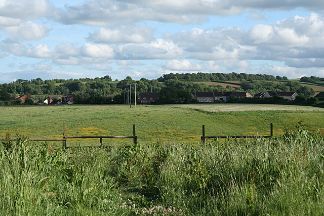
Image: © Martin Bodman Taken: 6 Jun 2010
The fields in the foreground will probably soon disappear under housing as the town expands. In the distance, on the skyline, the woodland is known as Bradninch Common and the old road from Bristol to Exeter ran that way until a new turnpike road was built via Broadclyst in the early nineteenth century
Images are licensed for reuse under creativecommons.org/licenses/by-sa/2.0
Image Location
Latitude
50.85639
Longitude
-3.404619