Cullompton: Goblin Lane
Introduction
The photograph on this page of Cullompton: Goblin Lane by Martin Bodman as part of the Geograph project.
The Geograph project started in 2005 with the aim of publishing, organising and preserving representative images for every square kilometre of Great Britain, Ireland and the Isle of Man.

There are currently over 7.5m images from over 14,400 individuals and you can help contribute to the project by visiting https://www.geograph.org.uk
Cullompton: Goblin Lane
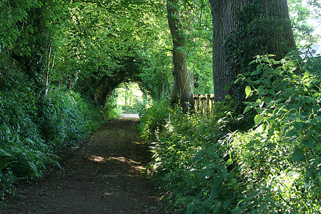
Image: © Martin Bodman Taken: 6 Jun 2010
Near its western end by Trumps Barn. The track may have existed in Roman times: it runs close to the sites of Roman forts on St Andrew's Hill, but may soon disappear as the area may be developed for housing
Images are licensed for reuse under creativecommons.org/licenses/by-sa/2.0
Image Location
Latitude
50.86
Longitude
-3.403591