Cullompton: towards St George's Well
Introduction
The photograph on this page of Cullompton: towards St George's Well by Martin Bodman as part of the Geograph project.
The Geograph project started in 2005 with the aim of publishing, organising and preserving representative images for every square kilometre of Great Britain, Ireland and the Isle of Man.

There are currently over 7.5m images from over 14,400 individuals and you can help contribute to the project by visiting https://www.geograph.org.uk
Cullompton: towards St George's Well
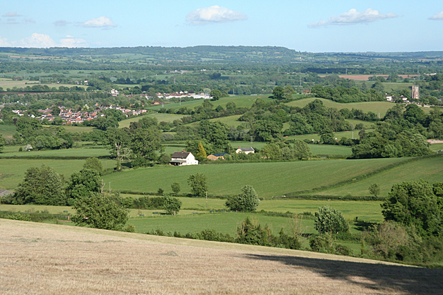
Image: © Martin Bodman Taken: 6 Jun 2010
Housing at the northern end of the town is seen,left. Much of the town is hidden by St Andrew's Hill, centre. To the right is the tower of the parish church: St Andrew's. Seen from Beacon Lane
Images are licensed for reuse under creativecommons.org/licenses/by-sa/2.0
Image Location
Latitude
50.868261
Longitude
-3.389627