Ramsbury library
Introduction
The photograph on this page of Ramsbury library by Gordon Hatton as part of the Geograph project.
The Geograph project started in 2005 with the aim of publishing, organising and preserving representative images for every square kilometre of Great Britain, Ireland and the Isle of Man.

There are currently over 7.5m images from over 14,400 individuals and you can help contribute to the project by visiting https://www.geograph.org.uk
Ramsbury library
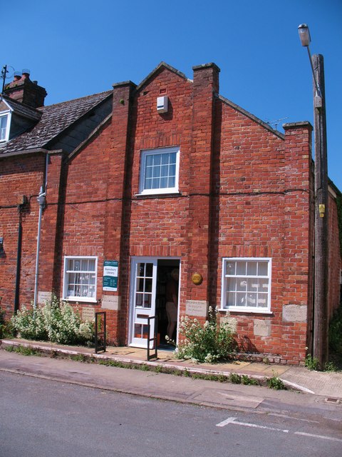
Image: © Gordon Hatton Taken: 3 Jun 2010
Ramsbury is fortunate in having its own branch library run by Wiltshire CC. The building was built as the Salvation Army 'barracks' in 1908, and there are names of various 'officers' on the foundation stones. This was probably the third building in the village that the SA had occupied, but they were not always popular in a village once known for its brewing trade.
Images are licensed for reuse under creativecommons.org/licenses/by-sa/2.0
Image Location
Latitude
51.442113
Longitude
-1.60975