Creedy valley from Winscott Barton
Introduction
The photograph on this page of Creedy valley from Winscott Barton by Derek Harper as part of the Geograph project.
The Geograph project started in 2005 with the aim of publishing, organising and preserving representative images for every square kilometre of Great Britain, Ireland and the Isle of Man.

There are currently over 7.5m images from over 14,400 individuals and you can help contribute to the project by visiting https://www.geograph.org.uk
Creedy valley from Winscott Barton
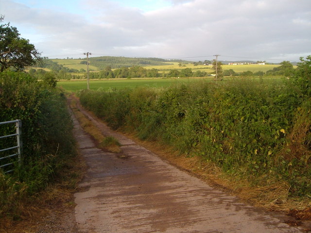
Image: © Derek Harper Taken: 21 Jun 2006
This view down a farm track opposite the farmhouse also takes in the woods beyond Newton St Cyres. Trees mark the line of the River Creedy; the slightly nearer field boundary is the Barnstaple-Exeter railway.
Images are licensed for reuse under creativecommons.org/licenses/by-sa/2.0
Image Location
Latitude
50.775483
Longitude
-3.571401