Footpath 175 on former taxiway
Introduction
The photograph on this page of Footpath 175 on former taxiway by Peter Holmes as part of the Geograph project.
The Geograph project started in 2005 with the aim of publishing, organising and preserving representative images for every square kilometre of Great Britain, Ireland and the Isle of Man.

There are currently over 7.5m images from over 14,400 individuals and you can help contribute to the project by visiting https://www.geograph.org.uk
Footpath 175 on former taxiway
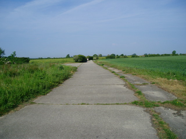
Image: © Peter Holmes Taken: 5 Jun 2010
The route between Climping and Yapton crosses the remains of Ford aerodrome.
Images are licensed for reuse under creativecommons.org/licenses/by-sa/2.0
Image Location
Latitude
50.812808
Longitude
-0.590198