Footpath 168 to Climping
Introduction
The photograph on this page of Footpath 168 to Climping by Peter Holmes as part of the Geograph project.
The Geograph project started in 2005 with the aim of publishing, organising and preserving representative images for every square kilometre of Great Britain, Ireland and the Isle of Man.

There are currently over 7.5m images from over 14,400 individuals and you can help contribute to the project by visiting https://www.geograph.org.uk
Footpath 168 to Climping
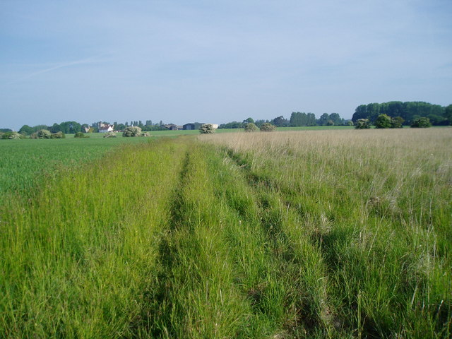
Image: © Peter Holmes Taken: 5 Jun 2010
The route of this path does not seem to follow the right of way indicated by the OS Explorer map. It appears to have been realigned so to avoid crops to the left.
Images are licensed for reuse under creativecommons.org/licenses/by-sa/2.0
Image Location
Latitude
50.811493
Longitude
-0.570792