Greenhead Lane, Rastrick
Introduction
The photograph on this page of Greenhead Lane, Rastrick by Humphrey Bolton as part of the Geograph project.
The Geograph project started in 2005 with the aim of publishing, organising and preserving representative images for every square kilometre of Great Britain, Ireland and the Isle of Man.

There are currently over 7.5m images from over 14,400 individuals and you can help contribute to the project by visiting https://www.geograph.org.uk
Greenhead Lane, Rastrick
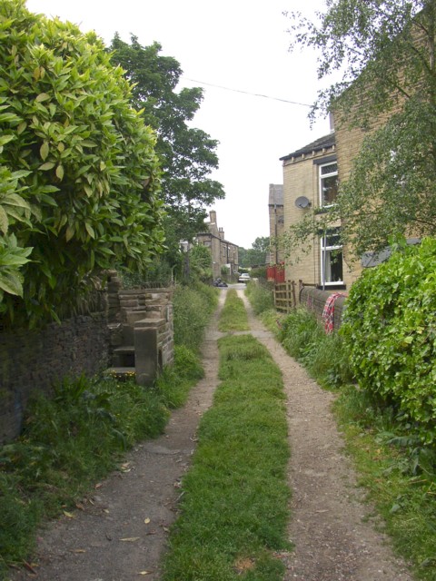
Image: © Humphrey Bolton Taken: 12 Jun 2006
This is the Slade lane end of the lane, which is not on the 1824 township map, but is shown running between fields on the 1850 OS map. However it was not extended to New Hey Road until the area was developed with terrace houses.
Images are licensed for reuse under creativecommons.org/licenses/by-sa/2.0
Image Location


Leaflet Map data © OpenStreetMap
Latitude
53.683486
Longitude
-1.797079