View of fields, Eaves Green Lane
Introduction
The photograph on this page of View of fields, Eaves Green Lane by Michael Westley as part of the Geograph project.
The Geograph project started in 2005 with the aim of publishing, organising and preserving representative images for every square kilometre of Great Britain, Ireland and the Isle of Man.

There are currently over 7.5m images from over 14,400 individuals and you can help contribute to the project by visiting https://www.geograph.org.uk
View of fields, Eaves Green Lane
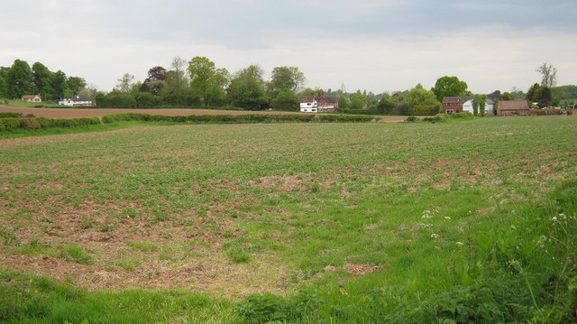
Image: © Michael Westley Taken: 18 May 2010
View north of Meriden, of farm fields. Beyond the trees on left is Queens Head, on eastern edge of village.
Images are licensed for reuse under creativecommons.org/licenses/by-sa/2.0
Image Location
Latitude
52.437726
Longitude
-1.627498