Halberton: on Turley Down
Introduction
The photograph on this page of Halberton: on Turley Down by Martin Bodman as part of the Geograph project.
The Geograph project started in 2005 with the aim of publishing, organising and preserving representative images for every square kilometre of Great Britain, Ireland and the Isle of Man.

There are currently over 7.5m images from over 14,400 individuals and you can help contribute to the project by visiting https://www.geograph.org.uk
Halberton: on Turley Down
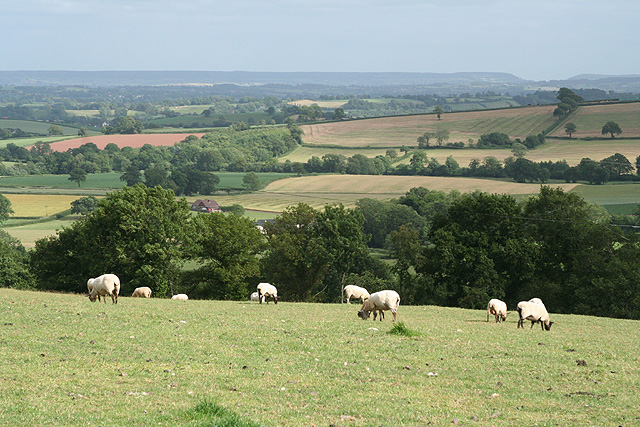
Image: © Martin Bodman Taken: 21 Jun 2006
Looking south-south-east from the access road to Turley Down Farm. The dip on the skyline is known locally as the Sidmouth gap
Images are licensed for reuse under creativecommons.org/licenses/by-sa/2.0
Image Location
Latitude
50.883355
Longitude
-3.428033