Talmead Pond
Introduction
The photograph on this page of Talmead Pond by David Anstiss as part of the Geograph project.
The Geograph project started in 2005 with the aim of publishing, organising and preserving representative images for every square kilometre of Great Britain, Ireland and the Isle of Man.

There are currently over 7.5m images from over 14,400 individuals and you can help contribute to the project by visiting https://www.geograph.org.uk
Talmead Pond
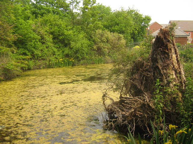
Image: © David Anstiss Taken: 5 Jun 2010
This pond is at the junction of Mill Lane North and Margate Road (hidden behind the trees on the left). This pond was larger at one time but a new housing development (in the background) has been built nearby. See Image
Images are licensed for reuse under creativecommons.org/licenses/by-sa/2.0
Image Location
Latitude
51.362277
Longitude
1.143718