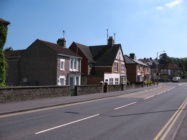
Kingshill Road - western end
Introduction
The photograph on this page of Kingshill Road - western end by Gordon Hatton as part of the Geograph project.
The Geograph project started in 2005 with the aim of publishing, organising and preserving representative images for every square kilometre of Great Britain, Ireland and the Isle of Man.
There are currently over 7.5m images from over 14,400 individuals and you can help contribute to the project by visiting https://www.geograph.org.uk

Image: © Gordon Hatton Taken: 3 Jun 2010
The group of houses seen here were all built in the 1920's by Edwin Blake builders, who were based at Rushey Platt House [the end of which just appears on the extreme left]. The houses were erected in part of the extensive gardens of the house and were mainly sold or rented out to relatives. The builders yard was situated between the main house and the canal with further gardens to the rear - now occupied by roads and dwellings in Erin Court.

