Village houses in Hannington
Introduction
The photograph on this page of Village houses in Hannington by Gordon Hatton as part of the Geograph project.
The Geograph project started in 2005 with the aim of publishing, organising and preserving representative images for every square kilometre of Great Britain, Ireland and the Isle of Man.

There are currently over 7.5m images from over 14,400 individuals and you can help contribute to the project by visiting https://www.geograph.org.uk
Village houses in Hannington
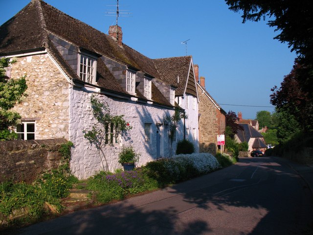
Image: © Gordon Hatton Taken: 3 Jun 2010
Hannington has a mixture of traditional stone and brick cottages plus a few 'prefabs' of the 1950's and modern semis and detached dwellings.
Images are licensed for reuse under creativecommons.org/licenses/by-sa/2.0
Image Location
Latitude
51.637243
Longitude
-1.746795