Leonardslee car park boundary
Introduction
The photograph on this page of Leonardslee car park boundary by Robin Webster as part of the Geograph project.
The Geograph project started in 2005 with the aim of publishing, organising and preserving representative images for every square kilometre of Great Britain, Ireland and the Isle of Man.

There are currently over 7.5m images from over 14,400 individuals and you can help contribute to the project by visiting https://www.geograph.org.uk
Leonardslee car park boundary
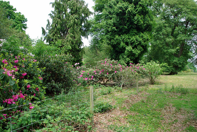
Image: © Robin Webster Taken: 6 Jun 2010
A parkland field used as a car park is to the right. Beyond the rhododendrons is the A281 road.
Images are licensed for reuse under creativecommons.org/licenses/by-sa/2.0
Image Location
Latitude
51.021347
Longitude
-0.262498