Road leading to Ford village from A338
Introduction
The photograph on this page of Road leading to Ford village from A338 by Peter Facey as part of the Geograph project.
The Geograph project started in 2005 with the aim of publishing, organising and preserving representative images for every square kilometre of Great Britain, Ireland and the Isle of Man.

There are currently over 7.5m images from over 14,400 individuals and you can help contribute to the project by visiting https://www.geograph.org.uk
Road leading to Ford village from A338
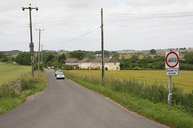
Image: © Peter Facey Taken: 21 Jun 2006
A338 and railway bridge behind photographer. All properties visible in picture are part of Ford village.
Images are licensed for reuse under creativecommons.org/licenses/by-sa/2.0
Image Location


Leaflet Map data © OpenStreetMap
Latitude
51.095885
Longitude
-1.76147