Bridgefield Building Site
Introduction
The photograph on this page of Bridgefield Building Site by David Anstiss as part of the Geograph project.
The Geograph project started in 2005 with the aim of publishing, organising and preserving representative images for every square kilometre of Great Britain, Ireland and the Isle of Man.

There are currently over 7.5m images from over 14,400 individuals and you can help contribute to the project by visiting https://www.geograph.org.uk
Bridgefield Building Site
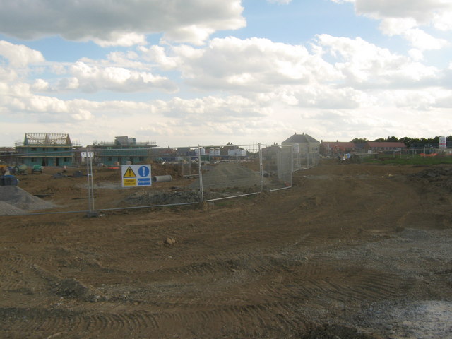
Image: © David Anstiss Taken: 30 May 2010
This is a large building site of Taylor Wimpey, who are building a phase of 2, 3, 4 & 5 bedroom homes on a site, east of the A2070 Romney Marsh Road. The site is being built in several phases. See http://www.taylorwimpey.co.uk/newhomes/South+East/Bridgefield/ for more details on the buildings.
Images are licensed for reuse under creativecommons.org/licenses/by-sa/2.0
Image Location
Latitude
51.114422
Longitude
0.884066