Kinsey Heath pasture
Introduction
The photograph on this page of Kinsey Heath pasture by Mike Harris as part of the Geograph project.
The Geograph project started in 2005 with the aim of publishing, organising and preserving representative images for every square kilometre of Great Britain, Ireland and the Isle of Man.

There are currently over 7.5m images from over 14,400 individuals and you can help contribute to the project by visiting https://www.geograph.org.uk
Kinsey Heath pasture
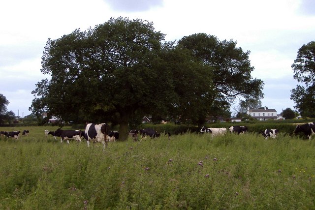
Image: © Mike Harris Taken: 21 Jun 2006
View from footpath north of Kynsal Hall, looking west towards Kinsey Heath. Dairy farming country - as so often in south Cheshire.
Images are licensed for reuse under creativecommons.org/licenses/by-sa/2.0
Image Location
Latitude
52.978394
Longitude
-2.488002