Winchester: Mill (NT)
Introduction
The photograph on this page of Winchester: Mill (NT) by Pam Brophy as part of the Geograph project.
The Geograph project started in 2005 with the aim of publishing, organising and preserving representative images for every square kilometre of Great Britain, Ireland and the Isle of Man.

There are currently over 7.5m images from over 14,400 individuals and you can help contribute to the project by visiting https://www.geograph.org.uk
Winchester: Mill (NT)
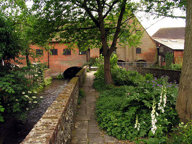
Image: © Pam Brophy Taken: 11 Jun 2006
This National Trust property is in full working order and the public can view flour making from time to time. This is the garden at the rear of the mill.
Images are licensed for reuse under creativecommons.org/licenses/by-sa/2.0
Image Location
Latitude
51.06009
Longitude
-1.307889