Buttercup slopes
Introduction
The photograph on this page of Buttercup slopes by Bill Boaden as part of the Geograph project.
The Geograph project started in 2005 with the aim of publishing, organising and preserving representative images for every square kilometre of Great Britain, Ireland and the Isle of Man.

There are currently over 7.5m images from over 14,400 individuals and you can help contribute to the project by visiting https://www.geograph.org.uk
Buttercup slopes
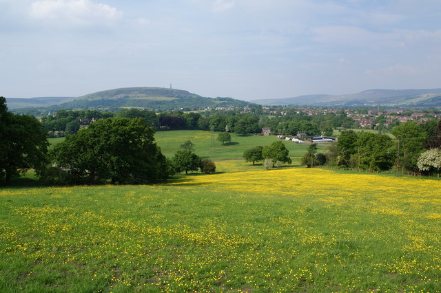
Image: © Bill Boaden Taken: 5 Jun 2010
This is taken from the northerly tip of Tottington, looking north east. Greenmount URC is prominent to the right, while Holly Mount is visible in the trees to the left. Straight ahead is Holcombe Moor with Peel Tower.
Images are licensed for reuse under creativecommons.org/licenses/by-sa/2.0
Image Location
Latitude
53.620146
Longitude
-2.347372