Lane down to Bottoms Hall Farm
Introduction
The photograph on this page of Lane down to Bottoms Hall Farm by Bill Boaden as part of the Geograph project.
The Geograph project started in 2005 with the aim of publishing, organising and preserving representative images for every square kilometre of Great Britain, Ireland and the Isle of Man.

There are currently over 7.5m images from over 14,400 individuals and you can help contribute to the project by visiting https://www.geograph.org.uk
Lane down to Bottoms Hall Farm
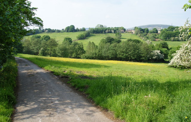
Image: © Bill Boaden Taken: 5 Jun 2010
Holly Mount is in the trees on the other side of the valley.
Images are licensed for reuse under creativecommons.org/licenses/by-sa/2.0
Image Location
Latitude
53.620404
Longitude
-2.351305