Little Stainton.
Introduction
The photograph on this page of Little Stainton. by Hugh Mortimer as part of the Geograph project.
The Geograph project started in 2005 with the aim of publishing, organising and preserving representative images for every square kilometre of Great Britain, Ireland and the Isle of Man.

There are currently over 7.5m images from over 14,400 individuals and you can help contribute to the project by visiting https://www.geograph.org.uk
Little Stainton.
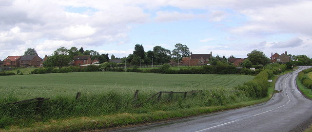
Image: © Hugh Mortimer Taken: 21 Jun 2006
Little Stainton in the medieval period (1066 to 1540) was larger than it is now. The sites of some of the buildings can still be seen as earthworks.
Images are licensed for reuse under creativecommons.org/licenses/by-sa/2.0
Image Location
Latitude
54.575835
Longitude
-1.466268