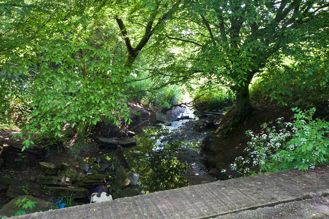
Stream Under the Bridleway
Introduction
The photograph on this page of Stream Under the Bridleway by Martin Addison as part of the Geograph project.
The Geograph project started in 2005 with the aim of publishing, organising and preserving representative images for every square kilometre of Great Britain, Ireland and the Isle of Man.
There are currently over 7.5m images from over 14,400 individuals and you can help contribute to the project by visiting https://www.geograph.org.uk

Image: © Martin Addison Taken: 2 Jun 2010
Crossed on a concrete bridge, this stream flows across the fields near Potters Bar to follow the route of the M25 - shouldn't that be the other way round? - and eventually becomes Turkey Brook before becoming part of a maze of waterways adjoining the New River in the Lee Valley Park and eventually, flowing into the River Lea (Lee) itself.

