Cattle Feeding Station
Introduction
The photograph on this page of Cattle Feeding Station by Martin Addison as part of the Geograph project.
The Geograph project started in 2005 with the aim of publishing, organising and preserving representative images for every square kilometre of Great Britain, Ireland and the Isle of Man.

There are currently over 7.5m images from over 14,400 individuals and you can help contribute to the project by visiting https://www.geograph.org.uk
Cattle Feeding Station
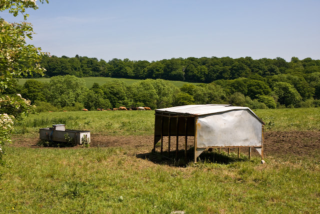
Image: © Martin Addison Taken: 2 Jun 2010
Beside the bridleway to Coopers Lane Road. Beyond the cattle in the field, the first line of trees mark the line of a stream whilst those beyond the next field constitute Fir Wood to the left and Pond Wood to the right.
Images are licensed for reuse under creativecommons.org/licenses/by-sa/2.0
Image Location
Latitude
51.689814
Longitude
-0.159329