Smarts Heath
Introduction
The photograph on this page of Smarts Heath by Alan Hunt as part of the Geograph project.
The Geograph project started in 2005 with the aim of publishing, organising and preserving representative images for every square kilometre of Great Britain, Ireland and the Isle of Man.

There are currently over 7.5m images from over 14,400 individuals and you can help contribute to the project by visiting https://www.geograph.org.uk
Smarts Heath
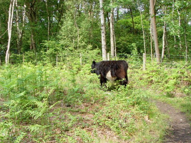
Image: © Alan Hunt Taken: 5 Jun 2010
One of the cows that has been introduced as part of the heathland grazing program run by The Surrey Heathland Project on behalf of Woking Borough Council who own the heath. The Heathland Project is a body set up by the County Council to conserve and manage a number of the smaller heathland sites in Surrey.
Images are licensed for reuse under creativecommons.org/licenses/by-sa/2.0
Image Location
Latitude
51.293996
Longitude
-0.589137