Clearing at Thorney Hill Holms
Introduction
The photograph on this page of Clearing at Thorney Hill Holms by Peter Facey as part of the Geograph project.
The Geograph project started in 2005 with the aim of publishing, organising and preserving representative images for every square kilometre of Great Britain, Ireland and the Isle of Man.

There are currently over 7.5m images from over 14,400 individuals and you can help contribute to the project by visiting https://www.geograph.org.uk
Clearing at Thorney Hill Holms
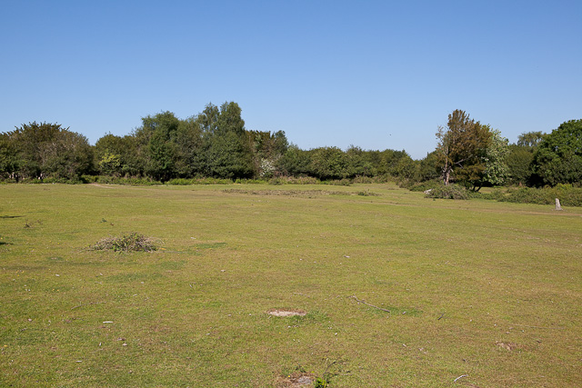
Image: © Peter Facey Taken: 3 Jun 2010
A clearing in woodland just north of Thorney Hill built-up area.
Images are licensed for reuse under creativecommons.org/licenses/by-sa/2.0
Image Location


Leaflet Map data © OpenStreetMap
Latitude
50.800653
Longitude
-1.715437