Road to Raemore
Introduction
The photograph on this page of Road to Raemore by Lis Burke as part of the Geograph project.
The Geograph project started in 2005 with the aim of publishing, organising and preserving representative images for every square kilometre of Great Britain, Ireland and the Isle of Man.

There are currently over 7.5m images from over 14,400 individuals and you can help contribute to the project by visiting https://www.geograph.org.uk
Road to Raemore
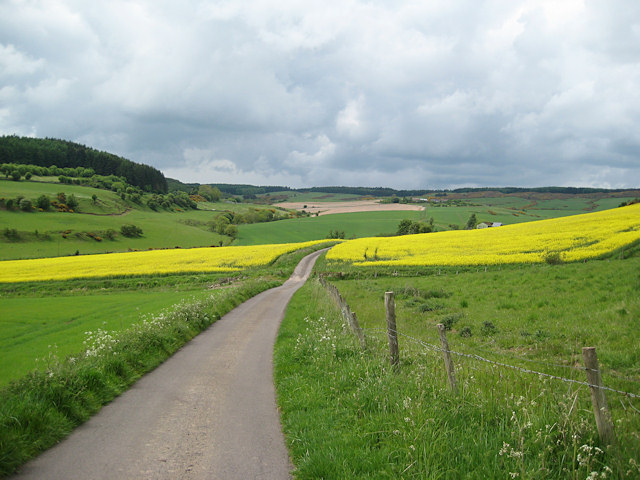
Image: © Lis Burke Taken: 29 May 2010
This farm road from Pitmedden to Raemore is part of a network of paths below Pitmedden Forest, which can be seen on the distant skyline.
Images are licensed for reuse under creativecommons.org/licenses/by-sa/2.0
Image Location


Leaflet Map data © OpenStreetMap
Latitude
56.312528
Longitude
-3.26001