Horsiculture in Lower Rainham
Introduction
The photograph on this page of Horsiculture in Lower Rainham by Penny Mayes as part of the Geograph project.
The Geograph project started in 2005 with the aim of publishing, organising and preserving representative images for every square kilometre of Great Britain, Ireland and the Isle of Man.

There are currently over 7.5m images from over 14,400 individuals and you can help contribute to the project by visiting https://www.geograph.org.uk
Horsiculture in Lower Rainham
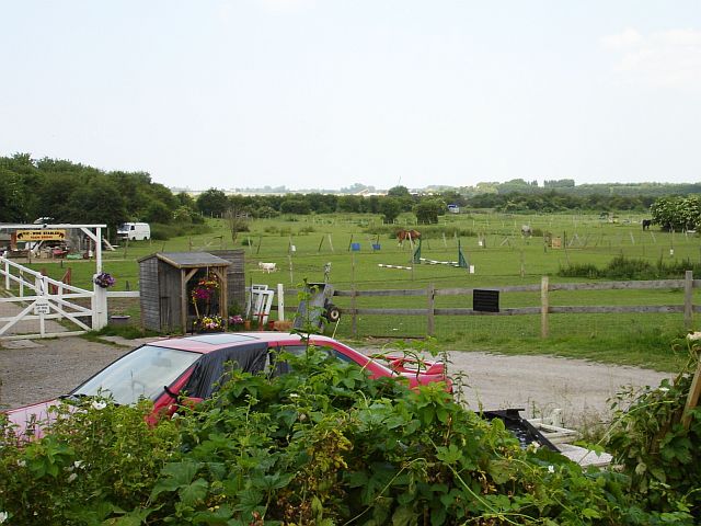
Image: © Penny Mayes Taken: 16 Jun 2006
Not so long ago the marginal land north of the Lower Road was dotted with paddocks with tumble-down home-made shacks to house the feed and tack. Things are more formalised now with brick-built stables and fancy fencing but the basic activity is the same. Unfortunately the road is often much busier now.
Images are licensed for reuse under creativecommons.org/licenses/by-sa/2.0
Image Location


Leaflet Map data © OpenStreetMap
Latitude
51.374585
Longitude
0.617873