Quarry Houses
Introduction
The photograph on this page of Quarry Houses by Alan Murray-Rust as part of the Geograph project.
The Geograph project started in 2005 with the aim of publishing, organising and preserving representative images for every square kilometre of Great Britain, Ireland and the Isle of Man.

There are currently over 7.5m images from over 14,400 individuals and you can help contribute to the project by visiting https://www.geograph.org.uk
Quarry Houses
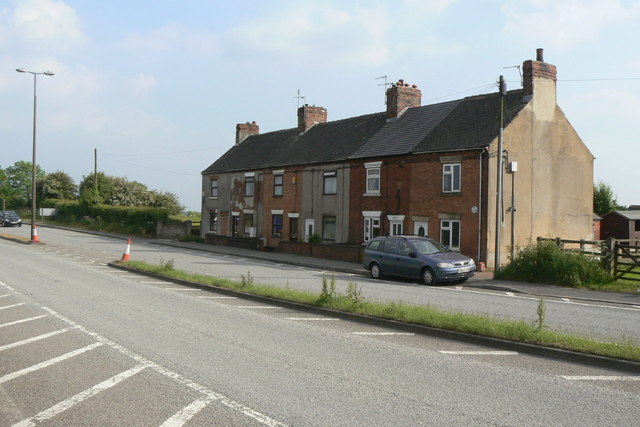
Image: © Alan Murray-Rust Taken: 2 Jun 2010
An isolated group of terraced houses at Woodlinkin. There doesn't appear to be any sign of a quarry on old maps, but there are a number of old coal shafts marked in the area.
Images are licensed for reuse under creativecommons.org/licenses/by-sa/2.0
Image Location
Latitude
53.028781
Longitude
-1.351953