Path through the wood
Introduction
The photograph on this page of Path through the wood by Alan Murray-Rust as part of the Geograph project.
The Geograph project started in 2005 with the aim of publishing, organising and preserving representative images for every square kilometre of Great Britain, Ireland and the Isle of Man.

There are currently over 7.5m images from over 14,400 individuals and you can help contribute to the project by visiting https://www.geograph.org.uk
Path through the wood
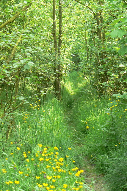
Image: © Alan Murray-Rust Taken: 2 Jun 2010
The path is the reinstatement of a right of way following opencast mining in the area in the 1980s and 90s. The current OS maps show woodland in different positions from what is actually on the ground, possibly due to following proposals for reinstatement rather than actual survey.
Images are licensed for reuse under creativecommons.org/licenses/by-sa/2.0
Image Location
Latitude
53.028979
Longitude
-1.35538