War Memorial and path to All Saints Church
Introduction
The photograph on this page of War Memorial and path to All Saints Church by Peter Facey as part of the Geograph project.
The Geograph project started in 2005 with the aim of publishing, organising and preserving representative images for every square kilometre of Great Britain, Ireland and the Isle of Man.

There are currently over 7.5m images from over 14,400 individuals and you can help contribute to the project by visiting https://www.geograph.org.uk
War Memorial and path to All Saints Church
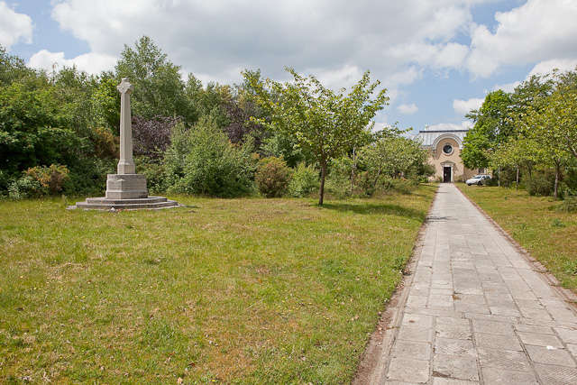
Image: © Peter Facey Taken: 2 Jun 2010
The church has a long approach path within its own grounds. It was formerly lined with large conifers but they are all blown down by high winds (in 1987?) which also knocked down the memorial.
Images are licensed for reuse under creativecommons.org/licenses/by-sa/2.0
Image Location
Latitude
50.79635
Longitude
-1.721139