Obscure bridleway
Introduction
The photograph on this page of Obscure bridleway by Robin Webster as part of the Geograph project.
The Geograph project started in 2005 with the aim of publishing, organising and preserving representative images for every square kilometre of Great Britain, Ireland and the Isle of Man.

There are currently over 7.5m images from over 14,400 individuals and you can help contribute to the project by visiting https://www.geograph.org.uk
Obscure bridleway
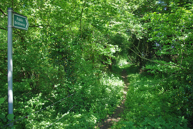
Image: © Robin Webster Taken: 3 Jun 2010
With summer foliage and vegetation, the start of this bridleway is not obvious, the sign being set back a little from the road. Further on it is, or used to be, quite a broad way between its banks. Unfortunately it starts at a point on a fairly busy road rather a long way from any connection to other off-road routes. This no doubt accounts for its light use.
Images are licensed for reuse under creativecommons.org/licenses/by-sa/2.0
Image Location
Latitude
51.024993
Longitude
-0.171384