The beginning of Water Lane
Introduction
The photograph on this page of The beginning of Water Lane by Bill Boaden as part of the Geograph project.
The Geograph project started in 2005 with the aim of publishing, organising and preserving representative images for every square kilometre of Great Britain, Ireland and the Isle of Man.

There are currently over 7.5m images from over 14,400 individuals and you can help contribute to the project by visiting https://www.geograph.org.uk
The beginning of Water Lane
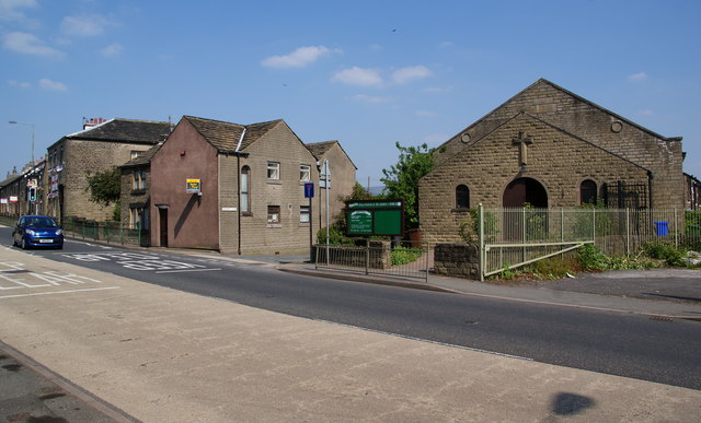
Image: © Bill Boaden Taken: 3 Jun 2010
Water Lane leaves Market Street just to the left of the Methodist Church, and runs down to the River Etherow. It is one of the older lanes in the village. The Organ Inn is on the left.
Images are licensed for reuse under creativecommons.org/licenses/by-sa/2.0
Image Location
Latitude
53.463085
Longitude
-1.991075