Bad Bargain Lane - Heworth
Introduction
The photograph on this page of Bad Bargain Lane - Heworth by DS Pugh as part of the Geograph project.
The Geograph project started in 2005 with the aim of publishing, organising and preserving representative images for every square kilometre of Great Britain, Ireland and the Isle of Man.

There are currently over 7.5m images from over 14,400 individuals and you can help contribute to the project by visiting https://www.geograph.org.uk
Bad Bargain Lane - Heworth
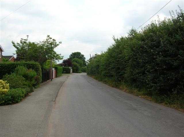
Image: © DS Pugh Taken: 20 Jun 2006
This single track road leaves Heworth to Apple Tree Farm before becoming a bridleway.
Images are licensed for reuse under creativecommons.org/licenses/by-sa/2.0
Image Location
Latitude
53.966561
Longitude
-1.042692