Manse Road
Introduction
The photograph on this page of Manse Road by Eric Jones as part of the Geograph project.
The Geograph project started in 2005 with the aim of publishing, organising and preserving representative images for every square kilometre of Great Britain, Ireland and the Isle of Man.

There are currently over 7.5m images from over 14,400 individuals and you can help contribute to the project by visiting https://www.geograph.org.uk
Manse Road
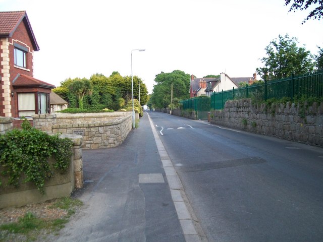
Image: © Eric Jones Taken: 25 May 2010
The Manse Road, a quiet backwater, links Greencastle Road with the Mourne Esplanade. Many of the houses date back to the Victorian and Edwardian periods.
Images are licensed for reuse under creativecommons.org/licenses/by-sa/2.0
Image Location
Latitude
54.060085
Longitude
-6.009892