Humphries Drive, Brackley
Introduction
The photograph on this page of Humphries Drive, Brackley by Brian Robert Marshall as part of the Geograph project.
The Geograph project started in 2005 with the aim of publishing, organising and preserving representative images for every square kilometre of Great Britain, Ireland and the Isle of Man.

There are currently over 7.5m images from over 14,400 individuals and you can help contribute to the project by visiting https://www.geograph.org.uk
Humphries Drive, Brackley
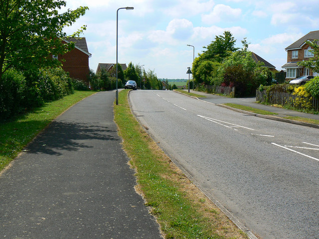
Image: © Brian Robert Marshall Taken: 2 Jun 2010
Humphries Drive might also be known as Somerville Road. It depends which map you look at. I'll go with the former. The lamppost at the left is 3 metres north of the southern gridline of this square.
Images are licensed for reuse under creativecommons.org/licenses/by-sa/2.0
Image Location
Latitude
52.0374
Longitude
-1.158927