Another view of the parkland, Steane Park, Brackley
Introduction
The photograph on this page of Another view of the parkland, Steane Park, Brackley by Brian Robert Marshall as part of the Geograph project.
The Geograph project started in 2005 with the aim of publishing, organising and preserving representative images for every square kilometre of Great Britain, Ireland and the Isle of Man.

There are currently over 7.5m images from over 14,400 individuals and you can help contribute to the project by visiting https://www.geograph.org.uk
Another view of the parkland, Steane Park, Brackley
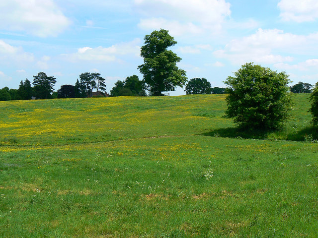
Image: © Brian Robert Marshall Taken: 2 Jun 2010
The big house is just about visible behind the trees on the left skyline. It appears that the house and gardens have been restored only within the last twenty years so all credit to the owners for that. More on the recent history from the park's website: 'In 1990 when the current owners took over Steane Park the gardens were in an extremely dilapidated and overgrown state; the lake had been filled in with rubbish and nettles and the fishponds were hardly visible. Over the past 15 years they have been reinstated to what is hoped as their original glory and the fishponds have been enhanced by the addition of a jetty with an attractive seating area. During the tidy up the top of a little well was found at the back of the church, is it a well or an entrance to an ice house, or maybe it is the start of a passage way which the locals believe went from the monastery here to the nunnery up at Halse? The area between the fishponds is where the previous owner had grown potatoes and now this is planted with trees and wild flowers and the potatoes are now grown in the newly renovated 17th century vegetable garden. The archeological site of the village of Stane / Steane is clearly marked in the knoll field as you enter from the drive which was listed in the Domesday Book along with a mill worth 2 shillings per year. The River Ouse rises across the road from Steane and its tributary runs through the paddocks and feeds the fishponds. The parkland was laid out in the 16th century but there is evidence of old ridge and furrow in part of it and a medieval trapezoidal enclosure. The once formal rose gardens were sadly dying and so this area was turned into a tennis court and laid to grass. On the other side of the privet hedge and camomile bank, is the original grass tennis court. The Monet Bridge was built by a craftsman from Suffolk delivered in several pieces and constructed on site with the aid of a lot of ropes, a lot of getting wet and a lot of fingers crossed but now looks magnificent. The moon gate was taken from a design shown at the 2001 Chelsea Flower Show and was built by a very able stone wall man from the highlands of Scotland, he also built the wall with the folly door as the background to the jetty. The folly castle was built over several years and is on the mound which is presumed to be the site of the mill in the Domesday Book or maybe the mound was created to rear rabbits on by the monks with water surrounding it to keep the rabbits in. The banks around this mound are no longer watertight since the badgers took over with their earthworks. The spacious formal gardens are shaped to blend with the parkland beyond the ha-ha and are packed with features including a sundial fringed by two tones of lavender, a gazebo covered in climbing rose and clematis and a magnificent copper beech. Medicinal and culinary herbs beds, all labelled, white borders and a lavender walk leading to a pavillion [sic].' The park is open to groups of visitors by appointment.
Images are licensed for reuse under creativecommons.org/licenses/by-sa/2.0
Image Location
Latitude
52.0462
Longitude
-1.195945