Sandy Lane, Farthinghoe
Introduction
The photograph on this page of Sandy Lane, Farthinghoe by Brian Robert Marshall as part of the Geograph project.
The Geograph project started in 2005 with the aim of publishing, organising and preserving representative images for every square kilometre of Great Britain, Ireland and the Isle of Man.

There are currently over 7.5m images from over 14,400 individuals and you can help contribute to the project by visiting https://www.geograph.org.uk
Sandy Lane, Farthinghoe
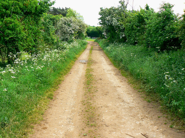
Image: © Brian Robert Marshall Taken: 2 Jun 2010
Sandy Lane is seen here as it approaches the eastern gridline of this square, which is about 27 metres this side of the Farthinghoe Road visible in the distance. The lane is classified as an 'other route with public access'.
Images are licensed for reuse under creativecommons.org/licenses/by-sa/2.0
Image Location
Latitude
52.041924
Longitude
-1.228827