Lane heads away from Pentrepoeth Road
Introduction
The photograph on this page of Lane heads away from Pentrepoeth Road by Jaggery as part of the Geograph project.
The Geograph project started in 2005 with the aim of publishing, organising and preserving representative images for every square kilometre of Great Britain, Ireland and the Isle of Man.

There are currently over 7.5m images from over 14,400 individuals and you can help contribute to the project by visiting https://www.geograph.org.uk
Lane heads away from Pentrepoeth Road
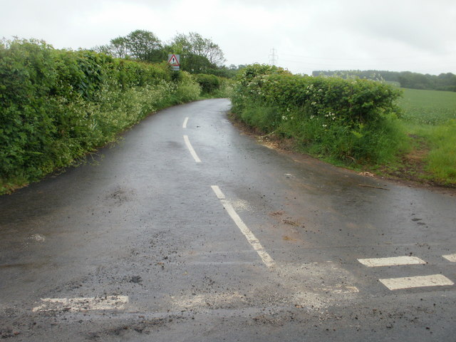
Image: © Jaggery Taken: 29 May 2010
Opposite the Hollies http://www.geograph.org.uk/photo/1884766 and Holly House, a lane heads away southeastwards from Pentrepoeth Road towards Pensylvania and Pen-y-lan.
Images are licensed for reuse under creativecommons.org/licenses/by-sa/2.0
Image Location
Latitude
51.565194
Longitude
-3.08053