Rocky Bourne Track
Introduction
The photograph on this page of Rocky Bourne Track by David Anstiss as part of the Geograph project.
The Geograph project started in 2005 with the aim of publishing, organising and preserving representative images for every square kilometre of Great Britain, Ireland and the Isle of Man.

There are currently over 7.5m images from over 14,400 individuals and you can help contribute to the project by visiting https://www.geograph.org.uk
Rocky Bourne Track
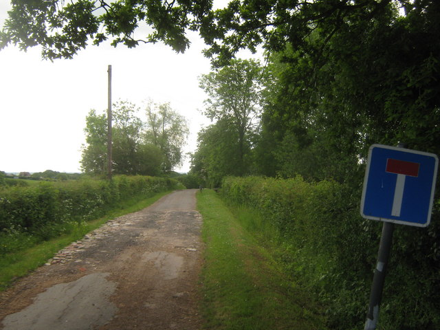
Image: © David Anstiss Taken: 30 May 2010
The access road from Frith Road ends and a footpath carries on toward to Rocky Bourne Road. Marked on maps as a 'road classified as a footpath'.
Images are licensed for reuse under creativecommons.org/licenses/by-sa/2.0
Image Location


Leaflet Map data © OpenStreetMap
Latitude
51.091978
Longitude
0.925803