Public open space, Brackley
Introduction
The photograph on this page of Public open space, Brackley by Brian Robert Marshall as part of the Geograph project.
The Geograph project started in 2005 with the aim of publishing, organising and preserving representative images for every square kilometre of Great Britain, Ireland and the Isle of Man.

There are currently over 7.5m images from over 14,400 individuals and you can help contribute to the project by visiting https://www.geograph.org.uk
Public open space, Brackley
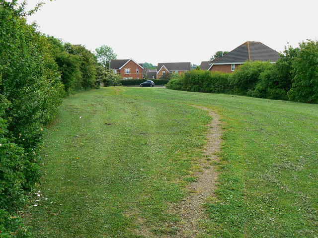
Image: © Brian Robert Marshall Taken: 2 Jun 2010
There is a triangular area of open space on the western edge of the 1980s/90s housing area on the western side of Brackley. It lies between Price's Way to the left and Rose Drive.
Images are licensed for reuse under creativecommons.org/licenses/by-sa/2.0
Image Location
Latitude
52.037404
Longitude
-1.159511