West along the bridleway south of Hinton Airfield, Charlton
Introduction
The photograph on this page of West along the bridleway south of Hinton Airfield, Charlton by Brian Robert Marshall as part of the Geograph project.
The Geograph project started in 2005 with the aim of publishing, organising and preserving representative images for every square kilometre of Great Britain, Ireland and the Isle of Man.

There are currently over 7.5m images from over 14,400 individuals and you can help contribute to the project by visiting https://www.geograph.org.uk
West along the bridleway south of Hinton Airfield, Charlton
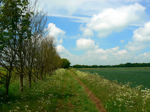
Image: © Brian Robert Marshall Taken: 2 Jun 2010
The bridleway skirts the southern extent of the former wartime airfield and a small crop of wheat.
Images are licensed for reuse under creativecommons.org/licenses/by-sa/2.0
Image Location
Latitude
52.025374
Longitude
-1.214245