Kirk Smeaton wheat field
Introduction
The photograph on this page of Kirk Smeaton wheat field by Christine Johnstone as part of the Geograph project.
The Geograph project started in 2005 with the aim of publishing, organising and preserving representative images for every square kilometre of Great Britain, Ireland and the Isle of Man.

There are currently over 7.5m images from over 14,400 individuals and you can help contribute to the project by visiting https://www.geograph.org.uk
Kirk Smeaton wheat field
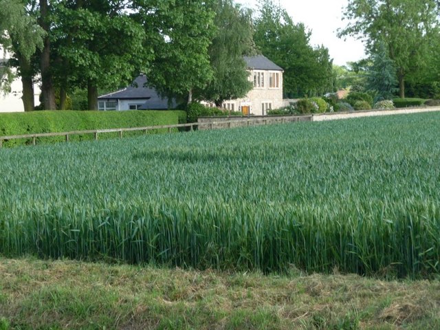
Image: © Christine Johnstone Taken: 2 Jun 2010
The crop comes right up to the road edge, but fences and hedges separate it from the last house on the south side of the road.
Images are licensed for reuse under creativecommons.org/licenses/by-sa/2.0
Image Location
Latitude
53.643378
Longitude
-1.22141